Comprehensive weather insights help safeguard your operations and drive confident decisions to make everyday mining operations as safe and efficient as possible.
 Learn how to optimize operations with credible weather and environmental intelligence. From aviation safety to environmental compliance, our comprehensive suite of solutions delivers real-time insights, advanced forecasting, and precise monitoring capabilities.
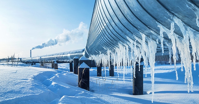
 Recently, we shared our preliminary European forecast for winter 2020/21, with a focus on the energy trading sector. Read on for a recap and an opportunity to replay this popular webinar on-demand.
Get our energy trading-focused European winter weather outlook