Comprehensive weather insights help safeguard your operations and drive confident decisions to make everyday mining operations as safe and efficient as possible.
 Learn how to optimize operations with credible weather and environmental intelligence. From aviation safety to environmental compliance, our comprehensive suite of solutions delivers real-time insights, advanced forecasting, and precise monitoring capabilities.
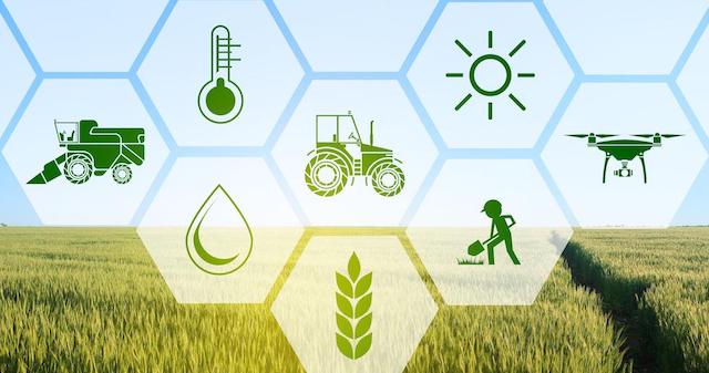
 As the availability and volume of data to help us understand what is happening or will happen in an agricultural field or orchard continues to grow exponentially, the challenge we now face is how to collect, synthesize and use this data to provide simple and actionable understandings and recommendations for a user.
How Curating Weather And Soil Data Can Produce Actionable Environmental Intelligence