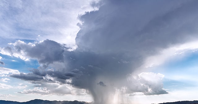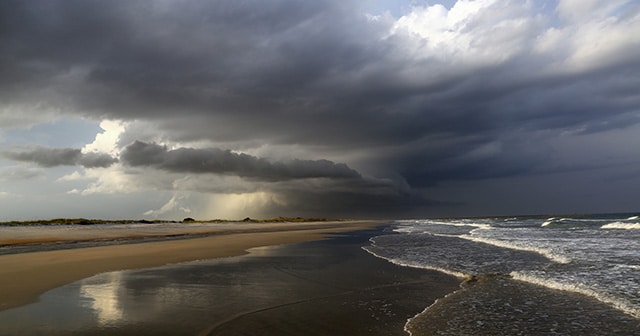









 Comprehensive weather insights help safeguard your operations and drive confident decisions to make everyday mining operations as safe and efficient as possible.
 Learn how to optimize operations with credible weather and environmental intelligence. From aviation safety to environmental compliance, our comprehensive suite of solutions delivers real-time insights, advanced forecasting, and precise monitoring capabilities.
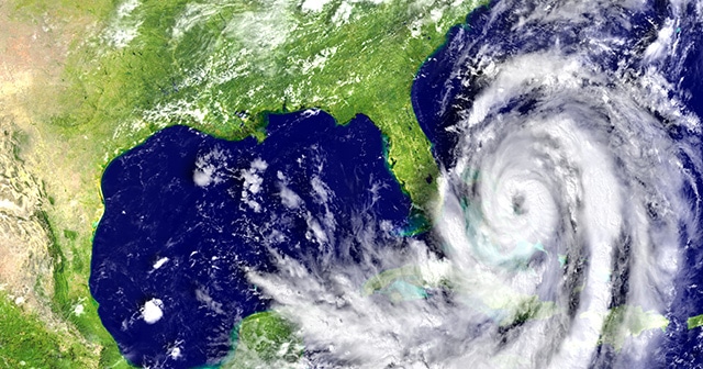
 The “Bomb Cyclone” that made national headlines during the middle part of last week was a spectacular example of what a strong late-winter/early-spring storm can be in the central United States.
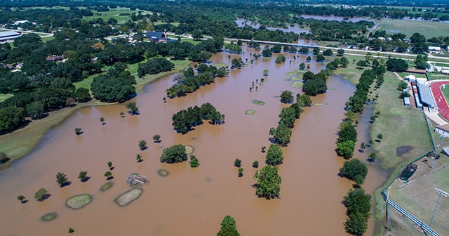
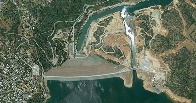
Epic Flooding in the Northern Plains Destroys Dam, Threatens Nuclear Plant