You may have spring fever. You may be ready for grass to turn green and flowers to bloom. But, are you prepared for the threat of severe weather this spring? The Storm Prediction Center (SPC) and the National Severe Storms Laboratory (NSSL) evaluated the probability of severe weather throughout the year for a 30-year period
Category: Weather
How Does Freezing Rain Form?
Winter can bring a wide variety of weather conditions, including various types of precipitation. Freezing rain, for instance, can be especially hazardous and forms in very specific conditions. Different types of winter precipitation (freezing rain, sleet, and snow) form in the same fundamental way. The main difference among these precipitation types lies in the temperature
Meet a Met: Maggie Christopher

Maggie Christopher @WxWriterMaggie DTN Aviation Meteorologist Valparaiso University – Bachelors in Meteorology Started with DTN for just over 3 years ago What is your favorite part about being in MetOps? Being able to use my degree, but also being an aviation meteorologist, which was my goal since junior year of college. What’s the most challenging
Agriculture Impacts Weather: The Case For Connected Ecosystems

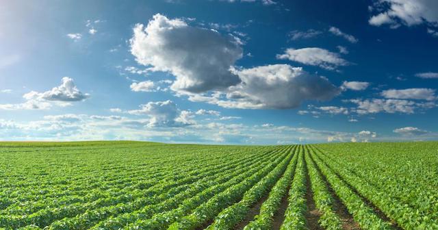
It’s fascinating to see how modern technology has helped us increase our agricultural productivity in areas not otherwise suited for our higher value crops.
Expected Harvest Moisture In Corn Seed Selection

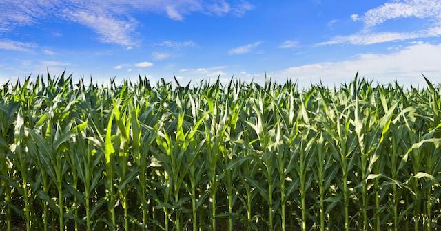
Seed selection season is here again for corn farmers across the United States.
Meet a Met: Brad Nelson

Brad Nelson @Brad_nado DTN On-Site Event Meteorologist & Sports/Safety Product Manager St. Cloud State University – Meteorology and Environmental Studies Started at DTN in June 2004 What is the craziest weather event you’ve experienced personally? So many to choose from! If I had to pick, it would be coming face-to-face with the massive El Reno,
There Are Four Basic Types of Fronts – Can You Name Them?
Air masses are always in motion, bringing with them, different types of weather conditions. The transition between two different types of air masses is called a front. There are four basic types of fronts, and the weather associated with them varies. 1. Cold Front A cold front is the leading edge of a colder air
Harmattan Winds & Dust Return to Africa
It’s that time of year again when cold air from the mid-latitudes surges into the tropics. The effect in Africa is a strong east to northeast wind from the Chad basin to Mauritania and northern Gabon called the Harmattan. Harmattan winds blow west to southwestward from the Sahara, with enough strength to carry desert sand
Super Bowl LII: How The City Of Bloomington Will Weather The Impending Storm

Leah Dailey explains how one of Minnesota’s largest cities has prepared for the influx of out-of-towners set to face its typically unforgiving weather conditions.
Betting On Rain? The Accuracy And Reliability Of Precipitation Forecasts

For you sports junkies out there, if I could prove to you that I can correctly predict winners and losers with 80% accuracy, would you use my advice in Las Vegas?


 Comprehensive weather insights help safeguard your operations and drive confident decisions to make everyday mining operations as safe and efficient as possible.
 Learn how to optimize operations with credible weather and environmental intelligence. From aviation safety to environmental compliance, our comprehensive suite of solutions delivers real-time insights, advanced forecasting, and precise monitoring capabilities.