Comprehensive weather insights help safeguard your operations and drive confident decisions to make everyday mining operations as safe and efficient as possible.
 Learn how to optimize operations with credible weather and environmental intelligence. From aviation safety to environmental compliance, our comprehensive suite of solutions delivers real-time insights, advanced forecasting, and precise monitoring capabilities.
 Increasingly volatile weather events are a threat to telecom towers. Better understand the risks and how actionable weather information can enhance planning and limit outages.
Using weather data to minimize telecom tower power outages

Increasingly volatile weather events are a threat to telecom towers. Better understand the risks and how actionable weather information can enhance planning and limit outages.

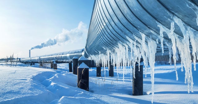
Offshore wind is a rapidly maturing renewable energy technology that is playing an increasingly important role in energy systems. Two years ago, offshore wind provided just a fraction of the global electricity supply, but it is now looking to expand in the coming decades into a one trillion dollar business.
Recently, we shared our preliminary European forecast for winter 2020/21, with a focus on the energy trading sector. Read on for a recap and an opportunity to replay this popular webinar on-demand.
Recently, we shared our preliminary European forecast for winter 2020/21, with a focus on the energy trading sector. Read on for a recap and an opportunity to replay this popular webinar on-demand.

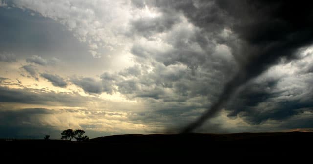
Offshore companies are particularly vulnerable to tropical storms for multiple reasons in addition to the location of their assets.

This year’s active hurricane season has kept convenience store owners on their toes, particularly as it relates to managing fuel supplies, as well as literally keeping the lights on in the day.

Mike Wolfinbarger from DTN sits down with Tonya Hall to talk about where weather technology is headed within the decade.